Good morning friends of Care and Share!
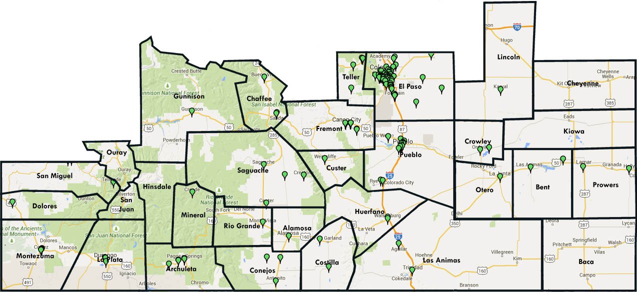
Below is a map of our 52,000 square mile service area with green markers indicating the locations of our partner agencies (food pantries, emergency shelters, soup kitchens, etc.) that are open to the public. We distribute the food to our partner agencies, and they distribute the food to those in need.
The highest concentration of partner agencies are in Pueblo and El Paso counties, which are home to the largest number of those in need of additional food resources. As you can see, there are several counties that do not have any markers, but we are still reaching these communities through USDA Foods programs, sites that host our Children’s Nutrition Nutrition Initiative programs, and Mobile Food Pantries that are not featured on the map.
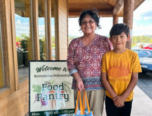
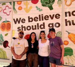
Although you’ve heard it many times before, we can’t say it enough! We cannot get food to our Southern Colorado neighbors at risk of hunger without our partner agencies. It takes the collaboration of many in the fight against hunger.
Thank you for reading and happy Monday!