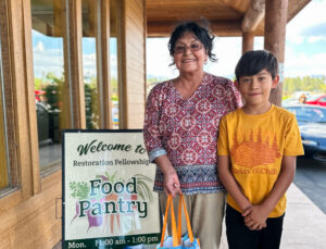
Good morning friends of Care and Share!
As a member of Feeding America, the nation’s largest domestic hunger-relief organization, we have access to some amazing research and statistics about food insecurity in the communities we serve. One of the tools that we use to determine how many people in our service area do not have access to enough food is Map the Meal Gap.
This map describes overall food insecurity throughout our 31-county service area.

To note: the food insecurity in our service area (15.3%) is higher than the state’s rate of 14.6%.
This map shows child food insecurity in our service area
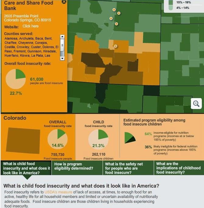
Again, the child food insecurity rate in our service area, 22.7%, is higher than the state’s average of 21.3%.
We are working every day to ensure that the most fragile members of our community have access to the food they need to thrive.
For more information about Map the Meal Gap, please visit:
http://www.feedingamerica.org/hunger-in-america/our-research/map-the-meal-gap/?_ga=1.147214515.563493320.1409845106